Chang Pheuk Mountain
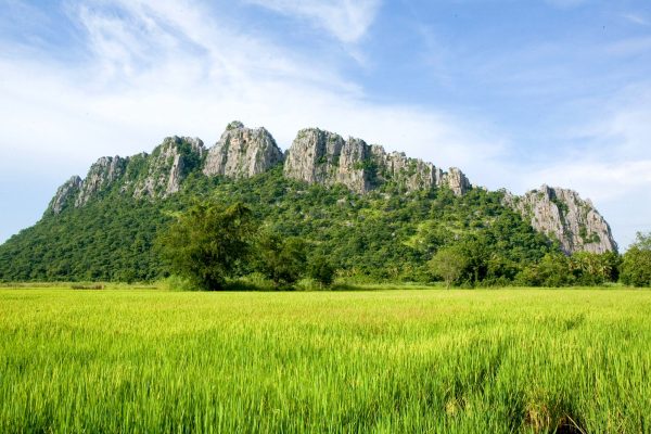
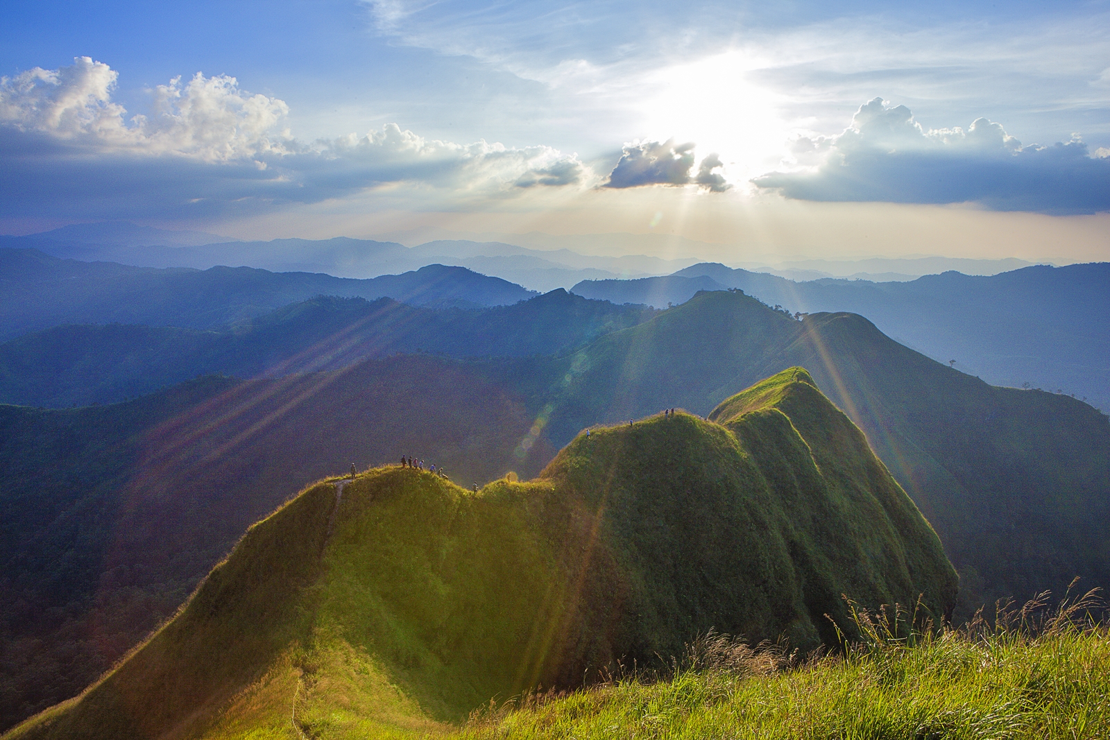
Chang Pheuk mountain is the name of the highest peak of Thong PhaPhumNational Park. Its height is around 1,249 meters above normal sea level; the route is a beautiful forest route which is thrilled. The route to the highest peak of Chang PheukMountaion is a mixture of sparse forest and grassland. The route’s highlight is at “KomMeed Mountain Ridge,” it is both beautiful and startling at the same time. When reaching the peak, you will be able to perceive the 360 degrees scenery.The route in order to reach the Chang Pheuk Mountain is approximately 8 kilometers, which is appropriated for tourists who are fond of adventure and have healthy physical. It takes around 6 hours by foot from Baan Aee Tong and in need of camping for a night at the mountain peak, which must be contacted to the National Park, for arranging National Park guideand luggage carrier. The period of time that is opened is during October to February.What to know before travelling to Chang Pheuk MountainThe forest route is 8 kilometers and 6 hours by foot and a one night stay in tent at the peak is required.There are no convenient facilities at the mountain peak; no electricity and no convenient store.The National Parklimited the number of tourists for no more than 60 people per day.The luggage carrier’s fee is 900 Baht per person (the number of luggage carrierdepends on the amount of each person’s luggage)The National Park guide’s fee is 900 Baht per person.Items that should be required are cap, long-sleeves shirt, sunglasses, torch, and personal belongings.The Thong PhaPhumNational Park willprovide rental tents and sleeping gears.How to get to Thong PhaPhumNational ParkIt is around 175 kilometers away from Mueng District of Kanchanaburi. Transport from Mueng District by using highway 323 which is 30 kilometers away from Thong PhaPhumDistrict.For further information for Thong PhaPhumNational Park, you can contact 034-532114, 081-3820359.