Phu Tabberk
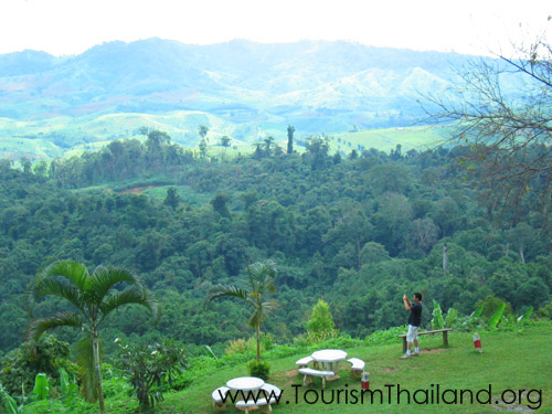
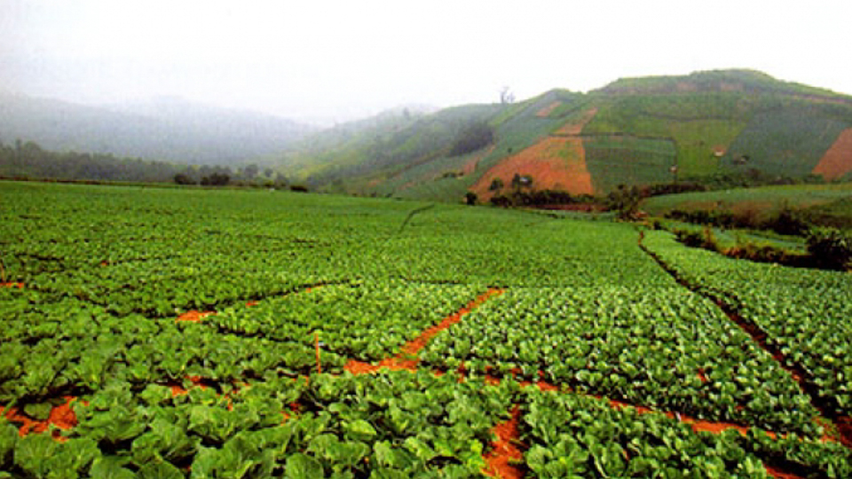
This Tambon is home to a Hmong hill tribe village called Ban ThapBoek. The area lies 1,768 meters above sea level and is often referred to as the highest point in Phetchabun province. Mountainous terrain and high altitudes guarantee year-round cool weather for visitors. The area is also culturally significant: it served a catchment area for rainwater used in a sacred ceremony during His Majesty the King’s auspicious 72nd birthday anniversary.From December to January, during the cool season, the hills are covered in cherry blossoms, making it the perfect time to visit. During the rainy season, mists engulf the hills both day and night, earning it the moniker of “the Misty Town”. A hiking event (“Climb up to ThapBoek, Experience the Coolness and Watch the Stars on the Ground”) is held to take advantage of the beautiful nighttime scenery, where at the end of the hike, participants can admire Lomsak and Lomkao towns’ twinkling lights below. The Phetchabun Tourism Association provides bungalows and tents for rent, and a campsite (with an admission fee) is also available for those who bring their own tents.ThapBoek is located at Mu 14 in Tambon Wang Ban, AmphoeLom Kao, Phetchabun. To get there From Phetchabun, take Highway No. 21 to AmphoeLomSak for 40 kilometers. At AmphoeLomSak, take Highway No. 203 for 13 kilometers and turn left into AmphoeLom Kao. Proceed further for 5 kilometers, passing Ban Wang Ban. Go straight on until the end of the road, then turn left into Highway 1143 for 1 kilometer, and turn right into Highway 2331, passing Huai Nam Rin Village until Km. 18-19, prior to the checkpoint to the park. There will be a direction sign into ThapBoek Village. Turn right and drive for another 4 kilometers. (Note: The route is very steep and winding. Visitors should drive a high-power vehicle and take special precautions.)Operating hours are 6.00 am-6.00 pm. For additional information, contact the Phetchabun Tourism Association at 0 5670 9026 or 08 1680 0223.