Khao Fa Chi
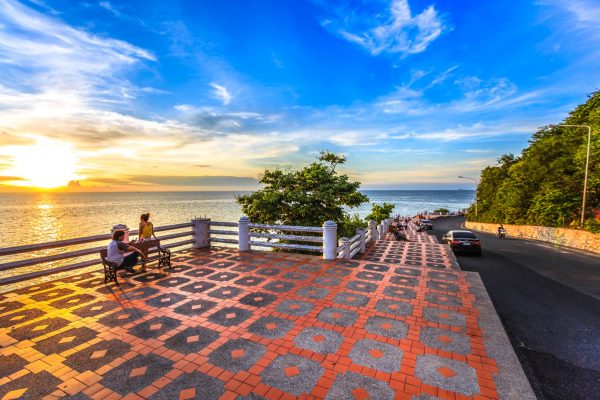
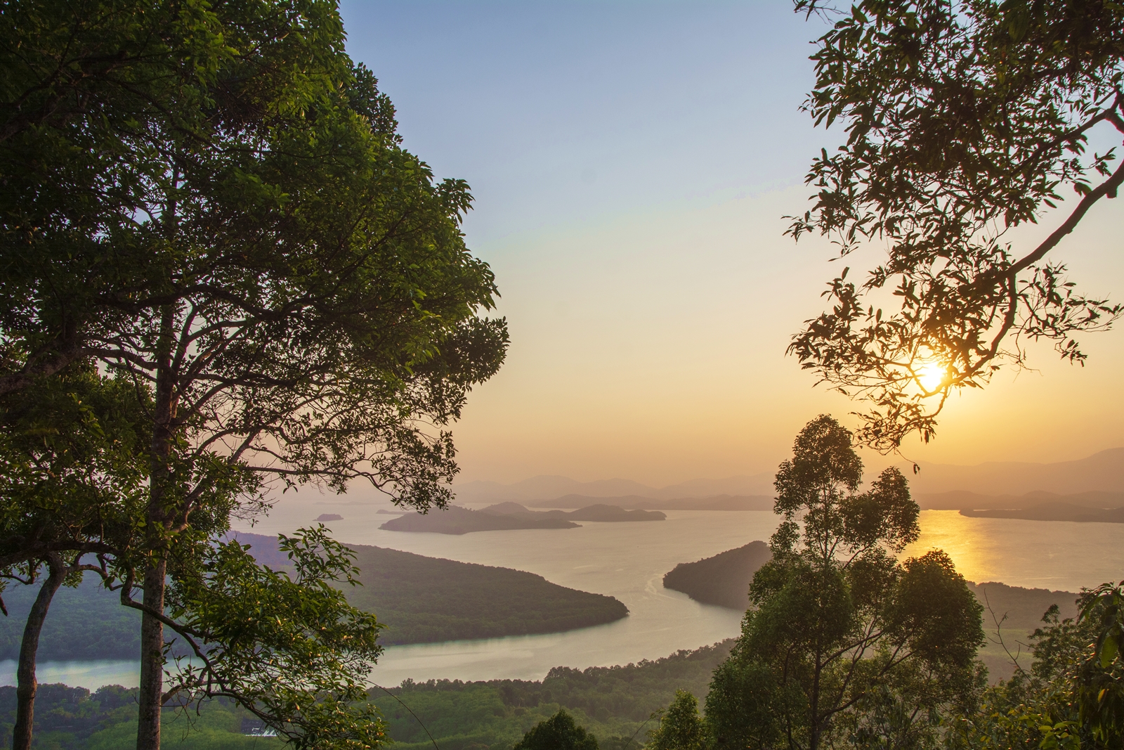
Khao Fa Chi resides in a small harmonious District of Bang Kaew along Petch Kasem Highway. It is under the governance of La-un County. Khao Fa Chi is located at the spot where La-un canal flows into the Kra Buri River and a cove which separates Ranong from Myanmar. The name Fa Chi refers to a dome (used in covering dishes) which is where the mountain adopted its name, being dome shaped. It is 259 metres above sea level and is prime viewpoint for experiencing panoramic scenery of sunsets across the Kra Buri River flowing into the sparkling Andaman Sea. The peak of the mountain offers a wide view of Myanmar and also little islands in the sea. Khao Fa Chi is highly recommended for viewing sunsets. Twilights here are exceptionally mesmerizing during the cool season, from November to December.As La-un River is quite large and is a route to Myanmar, this particular point was a stronghold for Japanese troops during WWII. It was where the Japanese invaded British (Myanmar). Nearby was the Japanese military quarter as evidence including old war ships, railway routes and tunnels has been found. Nowadays, a little village called Ban Khao Fa Chi has formed alongside the river.A war themed museum is located a few minutes’ walk away from Ban Khao Fa Chi. The museum exhibits old locomotives of WWII as the area was originally Fa Chi train station. The railway route here was separated from Chumphon station and is more than 90 kilometers. The construction began in June 1925 and finished in early 1945, due to unsettled political issues the railway was severely destroyed by bombs.As WWII ended, the railway was kept as memorial but the British disassembled it and took railway sleepers back to Melayu. All that is left today from that era is an old locomotive.