Kra Isthmus
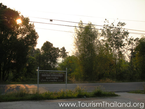
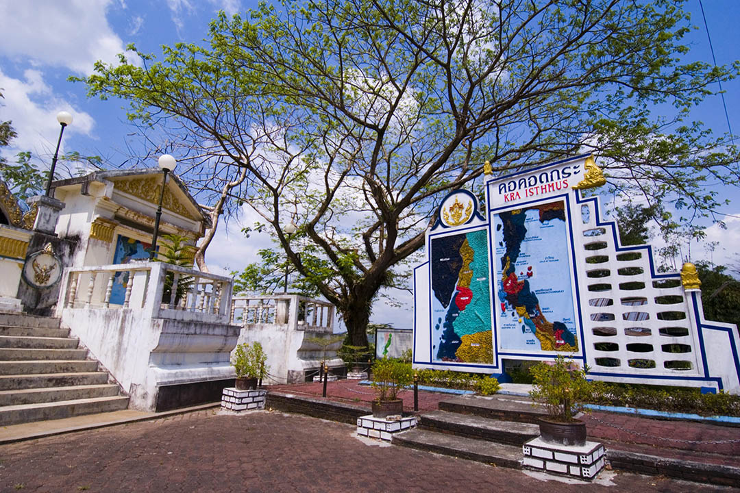
The Kra Isthmus is the narrowest part of the Malay Peninsula. It is located in Ban Thap Li, Lamu Subdistrict, Ranong and Sawi District, Chumphon, around the 545th milestone of Highway 4, about 66 kilometres from Ranong Town. Found to the west of the isthmus is the Kra Buri River, a natural border between Thailand and Myanmar. With a width of only 100 metres, the river is used for travelling between the two countries by locals.The distance between the east and the west sides of the isthmus is only about 50 kilometres. This region is dominated by mountainous terrain and has only one pass. In ancient times, the isthmus was one of the key strategic areas of the Burmese-Siamese wars since it was the only way which the Burmese could use to invade cities on the east coast of Southern Siam. In addition, due to the economic importance of the isthmus, there was a plan to dig a canal across the isthmus during the reign of King Narai the Great but the plan was dropped. Then again in the reign of King Mongkut, the French had a scheme to build a canal through the isthmus for ships to travel between the Andaman Sea and the Gulf of Thailand and avoid the long detour through the Strait of Malacca. Undoubtedly, this created a conflict between the French and the British, who colonised Penang and Singapore at that time. Also, the construction would require some areas of Burma, which was ruled by the British Empire, to be dug. As the British did not agree, the project failed. Nowadays, the canal still interests the Thai government as well as the public; however, on the negative side, the waterway may have an impact on national security. The sign of the Kra Isthmus is located at the Kra Isthmus in Ranong. It is one of the province’s most popular places where visitors like to take photos. Besides, near the sign is a viewpoint where you can get a beautiful view of the Kra Buri River, the border between Thailand and Myanmar.