Mu Ko Ang Thong National Park
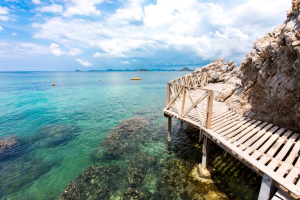
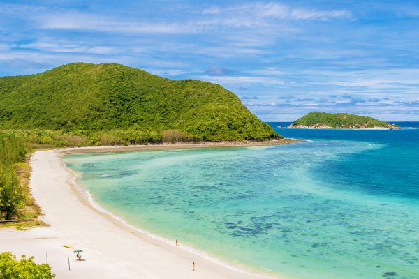
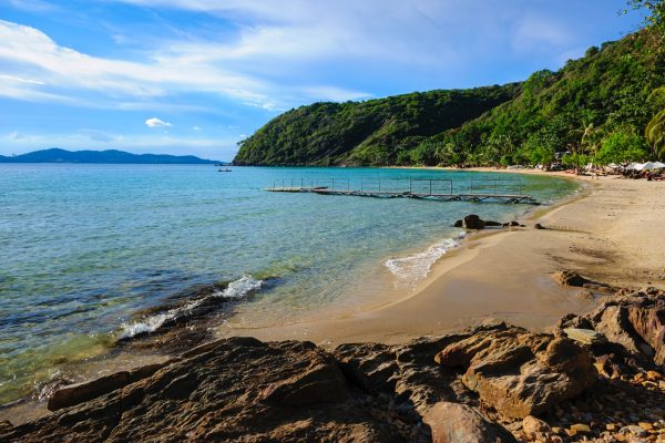
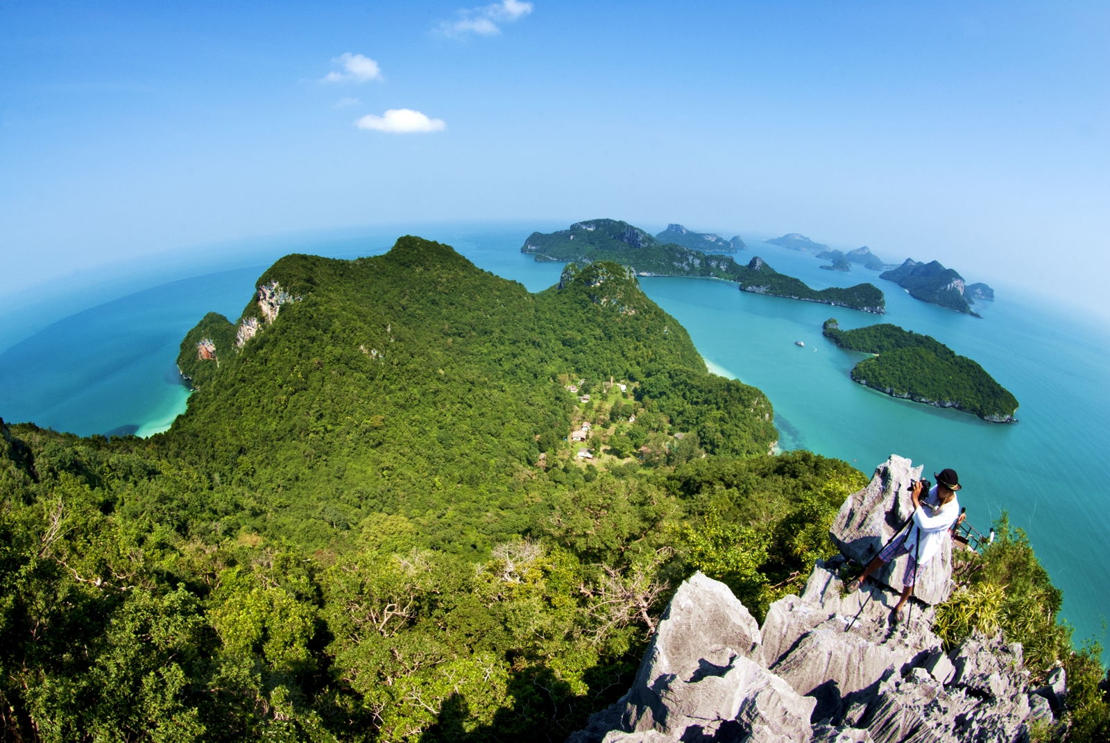
Mu Ko Ang Thong national park is the second national marine park in Thailand, established on November 12, 1980. It is approximately 20 kilometers westwards of Ko Samui. Its area is around 63,750 rai, of which 50 square kilometers are land and the rest is water, composing of 42 islands. Most of them are limestone islands. The important islands include Ko Wua Ta Lub, Ko Phaluai, Ko Wua Chio, Ko Mae Koh, Ko Samsao, Ko Phai Luak, Ko Ka, Ko Hin Dub, Ko Wua Kantang, etc. The islands were once navy’s forbidden ground, but later, many people immigrated and settled there. Those people’s occupations are coconut plantation, fishery, and collecting bird’s nest (There is a swallow’s nest concession on the island) at village no. 6, Ang Thong sub-district, Ko Samui district. The attractive places in the National Park are listed below. Ko Wua Ta Lub is the location of the National Park Office. The front of the office is a white sand beach. Near the office is Tham Bua Bok cave. Inside the cave are stalagmite and stalactite with the shapes like blooming lotus. Beside them is a sidewalk, approximately 400 meters long, to the viewpoint on the hill. The tourists can see the line of Mu Ko Ang Thong islands on the light blue color of the sea, which is such a breathtaking view. Talay Nai, or the lagoon inside the mountain, is on Ko Mae Koh. It is a geological phenomenon caused by the subsidence of limestone basin. Talay Nai is an oval-shaped sea, 250 meters wide, 350 meters long, and 7 meters deep. The area covers 30 rai. The tourists have to take a motorboat from the National Park Office for about 15 minutes and walk further to the view point for 400 meters. Then, they will see the wonderful scenery of the emerald lagoon as well as the open sea surrounded by mountains and trees. Ko Samsao is located opposite to Ko Mae Koh. It is the source of the beautiful coral and sea anemone, along its 1 kilometer length. There is a natural stone bridge extended to the sea. From Ko Samsao, the tourists can see a natural sculpture, looking like a stone castle, towering on the top of the mountain on Ko Mae Koh. The tourists can camp out on the island but have to prepare their own food and fresh water. Ko Tai Plao and Ko Wua Kantang are located further northwards from Ko Mae Koh. It is one of the viewpoints with the most gorgeous coral reefs. Ko Hin Dub possesses the longest spectacular beach in the national park. The surrounding of the island is very remarkable with the line of piled-up stones that look like a thin stone plate. Accommodation. The park offers 5 houses, 500-1,400 baht, and tents, 200-300 baht per night. There is also a campsite for the tourists who bring their own tents. The price is 20 baht per tent. For more details, contact Mu Ko Ang Thong National Park, tel.: 0 7728 6025, 0 7728 6588, 0 7728 0222, fax: 0 7728 6588. Direction Passenger boat from Ko Samui. The boat leaves Nar Ton Pier at 8.30. On the return trip, the boat leaves Mu Ko Ang Thong at 15.00. It takes two hours per trip. The tourists can also buy one-day return tour package to Mu Ko Ang Thong from local travel agency. The tour starts in the morning to Mu Ko Ang Thong and back to Ko Samui in the evening. The boat leaves at 8.30 and return to Ko Samui at around 17.30.