Pakpanang Beach And Talumpuk Cape
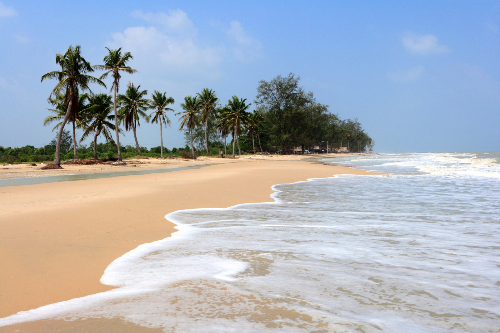
Pakpanang Beach and Talumpuk Cape Pakpanang Beach and Talumpuk Cape is located in the upper part of Amphoe Pakpanang, Nakhon Si Thammarat. The inner zone attached to the inland sea (Ao Nakhon) is inhabited by many population. The outer area attached to the Gulf of Thailand (Ao Thai) has beaches with long line of pine trees. Talumpuk Cape used to be severely hit by the great tropical storm “Harriet” (Typhoon) on October 25th 1962, with a 5 meter-high sea level, and 90 kilometer-per-hour wind speed. A 6.8 meter surge had swept the lives of around 1,300 local people at Talumpuk cape, all had lost and gone in the storm.Pakpanang Beach is a long beach aligned with the sea coast, with a crescent-shaped Talumpuk Cape protruding in the Gulf of Thailand. Visitors can drive their personal cars to the end of the cape, it takes around 6 kilometers.Transportation: Take Highway no.4013 (Nakhon Si Thammarat-Pakpanang). You will find a junction leading to Talumpuk Cape, the path to the destination takes around 16 kilometers. Along the way, you will notice shrimp farming alternating with the line of mangrove forest on two sides of the road.