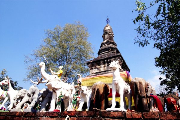
Pharcharoen National Park
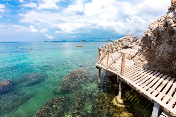
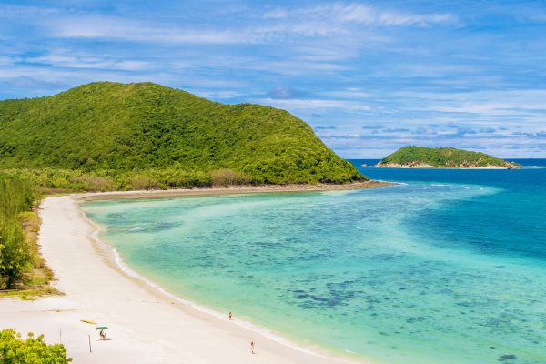
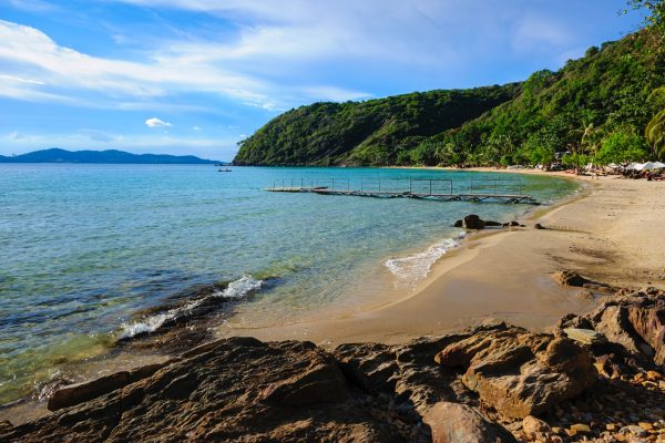
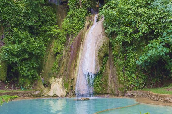
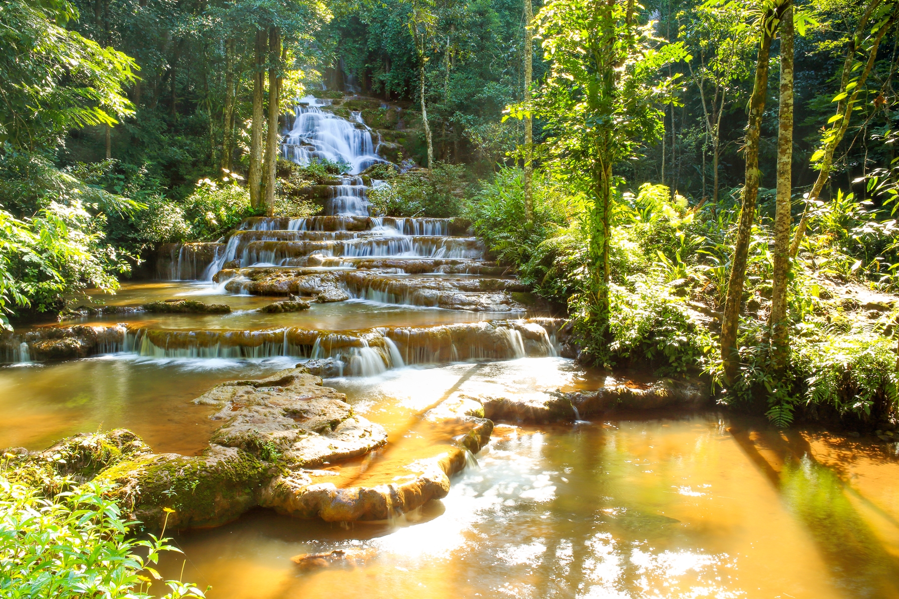
Pharcharoen national park has the total area of 534,575 rais covering Chong Khaeb Sub-district, Phob Phra Sub-district, Kheereeraj Sub-district, Phob Phra District, Dan Mae-lamoa Sub-district, Pha-war Sub-district, Phra-tat Phardaeng Sub-district, Mae-gu Sub-district, Mae-tao Sub-district, Mahawon Sub-district, and Mae Sod District. Most of the areas are of high and steep mountains, 1,765 metres above sea level. The area is full of mixed deciduous forest, pine forest and curcuma (Siam Tulip) field, which is a natural flower with big bright orange color petals and blooms during July to October every year at the natural park office area. The interesting places are Pharcharoen Waterfall, Huay-nam-nak Hot Spring, Doi-giah Scenic Point, and Pa-wai Waterfall.Pharcharoen Waterfall is a limestone waterfall resulted from many brooks flowing into the capillary water source on the mountain then flows down below and becomes 97-level small waterfalls. Waterfalls have plenty of water all year round, but its most beauty is during the rainy season. Huay-nam-nak Hot Spring is the natural hot spring with its water heat at 60 degree Celsius. At present, Phob Phra District has provided facilities and public shelters scattering around the area of hot spring. Tourist can visit this place throughout the year. Traveling route is convenient by taking the Highway No.1206 called Phob Phra-Baan Chongkhaeb and taking the right turn before reaching the route of Phob Phra District to Huay-nam-nak Village.Doi-giah Scenic Point is in Mae-sod Forest located at Moo 4, Phob Phra Sub-district which is the highest point of Thailand-Union of Myanmar border and 512 metres height above mean sea level. You can appreciate the forest view of Myanmar at this point. Some parts are mountain ridges with a cool weather. Moreover, you will be fascinated by fog cloud in winter season billowing above Moey River, the border line of Thailand and Myanmar. Another interesting place is Pa-wai Waterfall which can be reached by taking the Highway No.1090 called Mae Sod-Oomphang, then making a left turn at milestone no.43 and go further 20 kilometres en route to the village. Due to the route to the Waterfall is twisted, therefore, you should walk from the below level of the Waterfall and go up through the stream to appreciate its upper level. Then, if you go 30 metres further, you will find crater of the mountain with 30-metre width which has not yet been surveyed. There is water flowing inside and disappeared underneath the mountain. Pa-wai Waterfall is resulted from its brooks which full of water throughout the year. Furthermore, the Waterfall is surrounded by lots of rattan forest and this distinguish characteristic is named to the Waterfall. You can reach this place by taking Highway No.1090 called Phob Phra-Oomphang, then turn left before reaching the 42th kilometer and go further about 20 kilometres. For accommodations, the Natural Park has provided 2 houses and camping ground, but you have to bring your own equipment for camping. For detail please contact Head of the Pharcharoen National Park located at the 37th kilometer, Moo 6, Chong Khaeb Sub-district, Phob Phra District, Tak Province 63160, Tel.08 9839 5848 or Department of the National Park tel. 0 2562 0760-2 or www.dnp.go.thTourist can go to the National Park by taking the Highway No.1090 called Mae Sod-Oomphang, turn left upon reaching the 37th kilometer and go further 700 kilometres, then you will reach its office on the said Highway.